Cataloguing our environmental heritage
As well as offering a range of interactive events, producing thought-provoking podcasts, and inviting the local community to make use of our fantastic Heritage Hub garden, the Green Pledge Project is also striving away behind the scenes to make more Gloucestershire Archives environmental records accessible to the public.
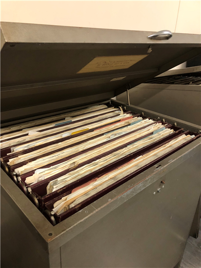
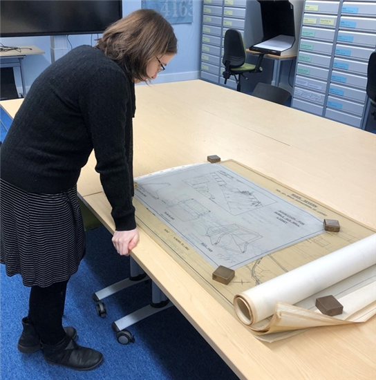 Since the project started our Green Pledge Project archivist, Jenny Rutland has been focusing on making the maps and plans deposited by the Environment Agency searchable for the first time. At the time of writing, D7768 looks like an unassuming little collection, but in reality there are over 9000 individual maps and plans, which were originally stored in inaccessible hanging cabinets in a largely random order.
We are delighted to now be entering the final stages of cataloguing this collection, thanks to our Green Pledge Project archivist and a team of helpful volunteers. Originally drawn by their predecessors, the maps and plans share detailed information about the rivers and brooks that fall under the Environment Agency’s jurisdiction.
Plans showing the location of watercourses, cross sections, and longitudinal sections feature heavily in the collection, helping researchers to understand the size and depth of the rivers.
Flooding is understandably a common theme, with maps giving the extent of flooding (including many documenting the March 1947 floods), hydrographs showing the volume of water passing through gauge points, and many plans showing measures taken to prevent and minimize the impact of flooding on local communities.

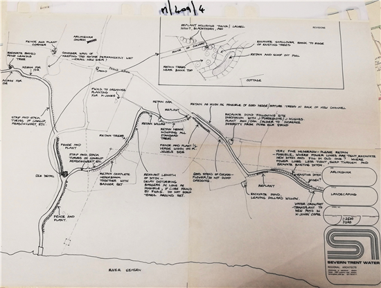
Some maps amalgamate erosion over time, showing where land has been lost to the river, and some are annotated with the names and addresses of landowners, offering an interesting opportunity for family history research. This plan of Hope Pill Rhyne in Arlingham shows existing hedges, trees, and plants to be protected, and even identifies badger setts to avoid.
Over the following months all 9000 maps and plans will be regrouped and added to the catalogue, so watch this space as we will let you know as soon as they are ready to view in our searchroom.