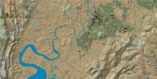
Light Detection and Ranging
Lidar — Light Detection and Ranging — is a remote sensing method used to examine the surface of the Earth.
A member of FoGA was recently sent a fascinating glimpse of our county using this state of the art technology. Readers of the newsletter might be interested in having a look:
storage.googleapis.com/gloucestershire_map/leaflet.html ...is the LIDAR survey of Gloucestershire. Just keep zooming in and enjoy a different take on our landscape.
'I spent a very happy half hour or so looking at places I was interested in. If you have a small gap to fill up, it could be of interest.' Liz Jack.